Honeycomb Drone: A Revolutionary Leap In Large Scale Farm Management
The HoneyComb Corporation is a company that is dedicated to providing solutions to large scale farming management institutions, by developing technologically advanced gadgets that collect data and provide solutions for challenges faced by farmers and companies investing in the farming business. The Agdrone(TM) System is the latest development in agricultural drones.
What is the Agdrone(TM) System
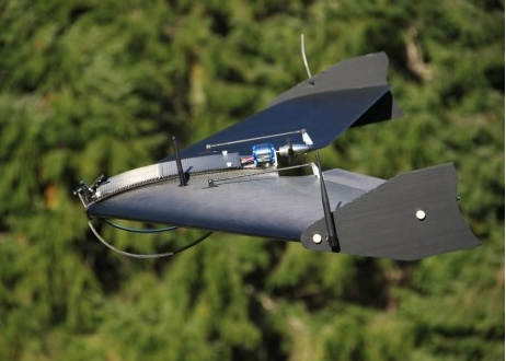
The Agdrone(TM) System is a robot that flies over vast portions of agricultural land to monitor the crops and the land itself, irrigation channels and other statistics in a short period of time, hence providing the farmer with the opportunity to make quicker decisions based on the data processed by the drone. If you want to see this cool system in action, here is a remarkable video.
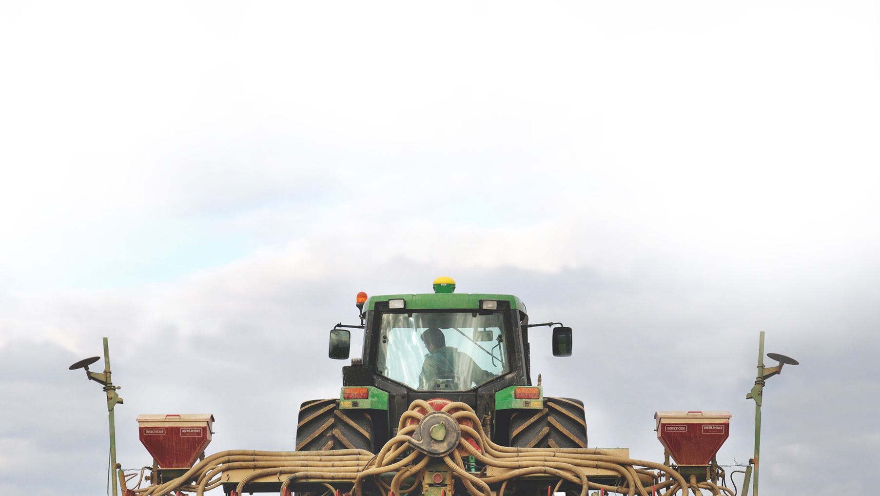
Large scale farmers can now be at ease since this solution cuts on the labor required gathering such information from large farms. In addition, the drone gives an informational advantage which supplements the mechanical advantage of a tractor.
Specifications & Benefits of the Agdrone(TM) System
• The Agdrone(TM) System has a fixed wing with a span of 49 inches.
• It is fully autonomous during flight and also landing.
• The drone flies two cameras of 16.1 megapixels and has a ground resolution of 1.26 inches (3.2cm) when flying at 400 feet.
• It travels at a maximum speed of 51 meters per hour and weighs 4.75 (2.154kgs).
• The drone has an exoskeleton made of EPP and Kevlar Composite. It comes in a rugged, waterproof and lockable military grade case, in which the hardware comes with a battery case with three batteries. It flies over 800 acres in one hour therefore saving a great deal of time.
• The drone is also very flexible in terms of adaptation since it can land on grass, graded dirt, packed gravel and also pavement. It is therefore applicable to any topography.
If you’d like to see Agdrone(TM) System’s pictures, click here.
Problem Solved
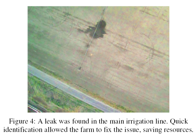
The Agdrone(TM) System provides georeferenced maps and makes ground cover measurements. It also provides fast and accurate image processing which leads to more accurate and faster field surveys.
Farmers can now reduce their losses caused by natural calamities like floods because the drone provides early detection of broken waterlines which enables the farmer to fix the problem and continue monitoring the recovering crops.
Moreover, the drone is accomodative since it can be used by farmers who have no flight experience. Farmers will now be able to map damaged areas, document losses, file accurate claims and document yield data. For the organic growers, georeferenced map zones will enable them to manage buffer zones year in year out.
With such developments taking place in the agricultural sector, farmers can certainly hope for a better future and more crop production which will enhance global food security.
HoneyComb is an Oregon-based company that focuses on the development of drones for imaging solutions for agriculture and forestry.
TractorExport is proud to announce its recently established business relationship with HoneyComb. For more information and specifications click here.